


Image processing chain engineering
There are many fields of application for Earth observation such as the environment, defence, geology, climatology, telecommunications, and IoT objects. ALTEN is involved in thestudy,developmentandmaintenance of the complete image processing chainsfor the satellite observation systems of amajor player in the space sector.
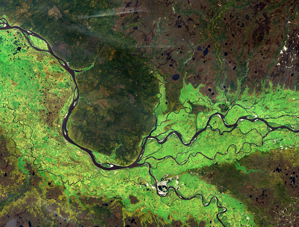
To identify flood-prone areas or to determine where to install a cell phone relay using satellite imagery,large volumes of spatial data must be processedin real-time with a “Big Data/Deep Learning” approach.
In this context, ALTEN engineers are involved in:
- The study of the system and the development of applications for image software processing software
- The development of embedded software modules for observation satellites
- The end-to-end validation of the system (instrument and satellite tests on the ground, confirmation of system performance including the ground segment)
- Evolutive maintenance of ground segment IT infrastructures